Hendrik Cornelissen, Unsplash
Join this webinar to learn more about strategies to bring the power of GIS to create a more equitable park and greenway system.
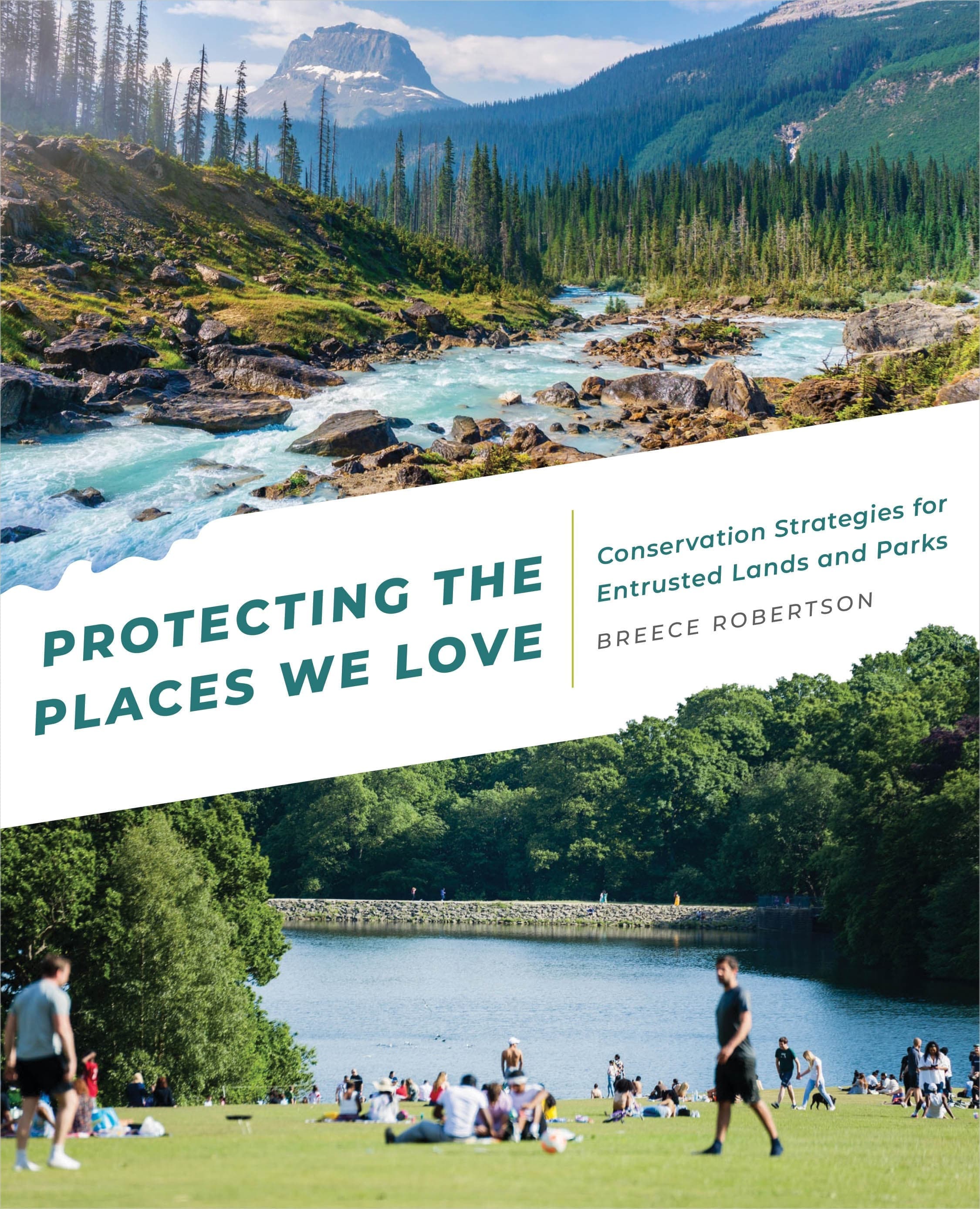
Protecting the places we love is a key element in the quest to save our planet. Scientists have identified that we must save 30 percent of our lands and waters by 2030 to avoid catastrophic biodiversity loss and climate collapse. It can feel overwhelming to figure out what we can we do to help achieve these goals for our communities or contribute to national efforts. One way we can contribute is by supporting the use of GIS (Geographic Information Systems) to analyze, map, and tell the stories of the places that need to be protected. The tools and data have never been more accessible so you don’t have to know how to be a GIS wizard to have a big impact. Where can a city park provide a park with a playground for kids and trees to help cool surrounding areas down in searing summer heat? How can GIS be used to engage communities to identify and protect important lands for water quality and local food production? How can GIS be used to link critical wildlife corridors that span across the country or identify where wildlife over or underpasses will save animals and people from vehicle collisions? How can we create more equitable opportunities for people to get outdoors to bike, walk or fish? GIS can help us visualize, gain insights into and design approaches to address these issues.
Join this webinar to learn more about strategies to use GIS in Breece’s brand new book “Protecting the Places We Love” and how she and Rick Wood worked together to bring the power of GIS to create a more equitable park and greenway system in Chattanooga, Tennessee.
Learning Objectives:
- Attendees will see simple ways to apply GIS to meet specific goals.
- Attendees will have an understanding of how GIS can be accessed and harnessed by anyone from the volunteer budget to the larger department.
- Attendees will understand the many tools available at their fingertips to be creative in protecting lands.
- Attendees will see interesting and creative ways to gain support and understanding from diverse communities.
Trail Competencies
No skills listed.Relevant Trail Types
General. All trail types are relevant.
Learning Credits and CEUs
Learning credits will be available to attendees and are included in the registration fee. The length of the session will determine the number of hours/credits given. In order to obtain credits, attendees must fill out an evaluation survey for each session they attend, as well as complete a learning credit tracking form noting each session they are requesting credits for (or a quiz if virtual). This form (and complete instructions) will be available online as well at registration. Email the conference host or [email protected] with any questions.
American Trails is a certified provider and can offer the following learning credits and continuing education opportunities: AICP CM, LA CES (most HSW approved), NRPA CEU Equivalency Petition, and CEU/PDH Equivalency Petition for other accepting organizations.
You may also like
Related Upcoming Trainings
This training has been viewed 304 times.